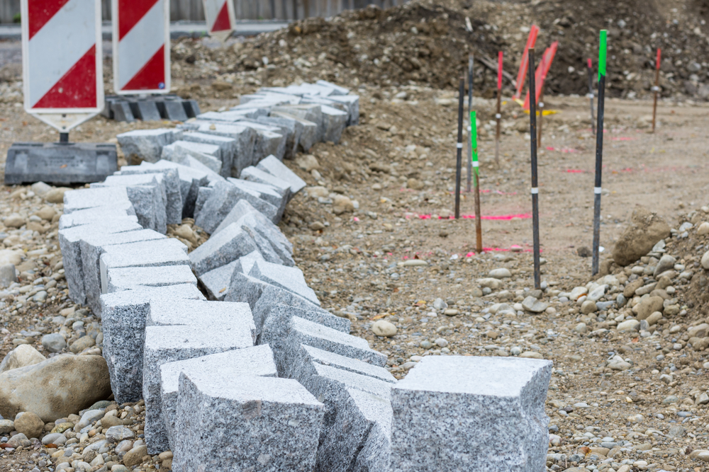
When it comes to owning or purchasing property, one of the most essential and often overlooked steps is conducting a boundary survey. Whether you’re buying land for development, selling a portion of your property, or planning construction, knowing the precise boundaries of your land can protect you from costly legal disputes and ensure you’re making
READ MOREBlog
Blog
How Drone Technology is Changing the Landscape of Property Surveys

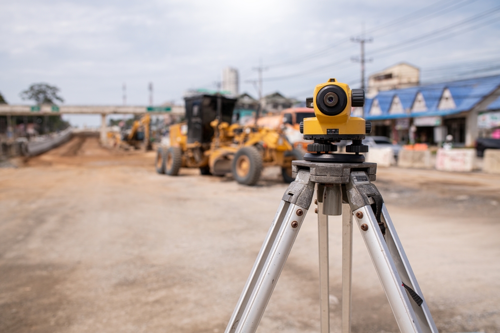
In recent years, drone technology has revolutionized a wide array of industries, and property surveying is no exception. Traditionally, property surveys have involved painstaking manual measurements, time-consuming fieldwork, and a reliance on line-of-sight observations. While these methods have provided reliable data for decades, they also present limitations in terms of time, accuracy, and accessibility. Enter
READ MORETopography and its Impact on Property Development La Pryor, TX
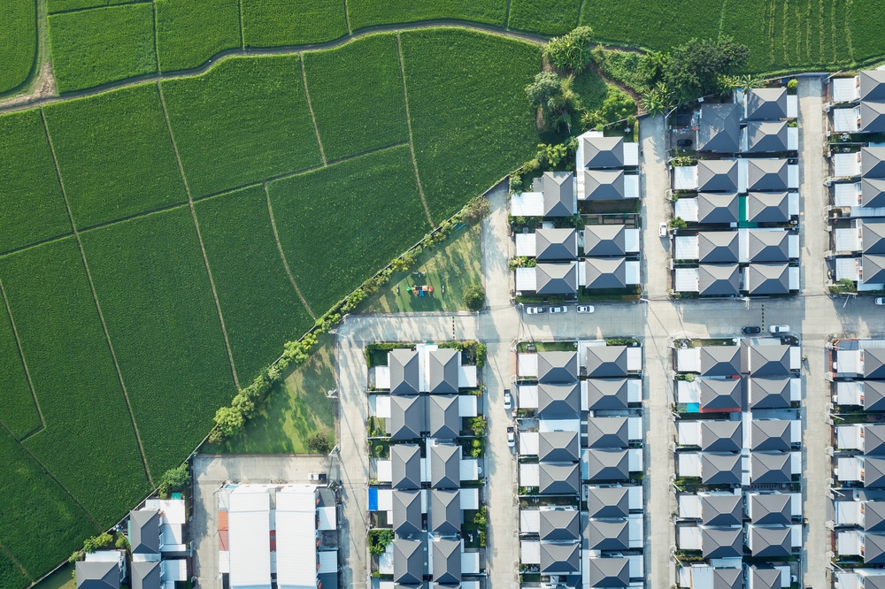
When considering property development in any region, understanding the land’s physical features is vital. In La Pryor, TX, a rural community located in Zavala County, the terrain plays a critical role in determining the feasibility and design of residential, commercial, and agricultural projects. The field of land surveying becomes essential in helping property developers assess
READ MOREThe Impact of Climate Change on Flood Risks in Texas
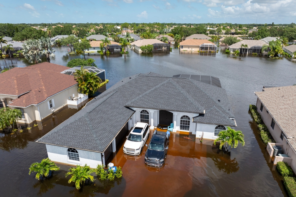
Flooding has always been a serious concern in Texas, but in recent years, the risk has increased significantly due to the accelerating impacts of climate change. Rising global temperatures have led to more frequent and intense storms, erratic weather patterns, and shifting rainfall trends, all of which contribute to higher flood risks across the state.
READ MORELand Surveyor and Mortgage Survey Services in La Pryor, TX
When dealing with property ownership, real estate transactions, or construction projects, the expertise of a land surveyor is invaluable. In La Pryor, TX, land surveyors play a critical role in defining property boundaries, identifying potential disputes, and ensuring compliance with local zoning and legal regulations. Whether you are a homeowner, a developer, or a lender,
READ MORE