
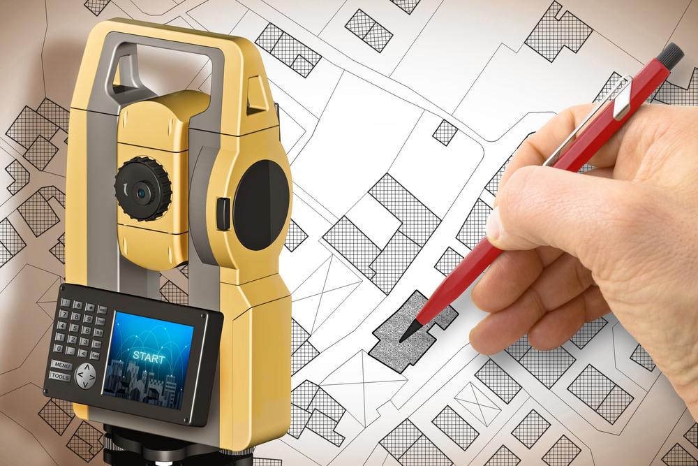
Land and boundary surveying represents one of the most critical professional services in real estate, construction, and property management. Boundary surveyors in Uvalde, TX play an essential role in determining exact property lines, establishing legal boundaries, and resolving disputes between neighboring property owners. These skilled professionals use advanced technology and decades of established surveying practices
READ MOREBlog
Blog
The Importance of Accurate Land Surveys in Real Estate Transactions
Buying or selling property is one of the most significant financial decisions many people make. In the excitement of negotiations, inspections, and closing timelines, one important step can sometimes be overlooked until late in the process: obtaining a professional land survey. A survey provides critical information about the exact boundaries and features of a property,
READ MOREFrequently Asked Questions About Boundary Surveys in Uvalde, TX
Owning property in Uvalde, Texas comes with many advantages. The region offers wide-open land, scenic Hill Country views, and a strong sense of community. Whether you own a home in town, manage farmland outside the city limits, or are preparing to purchase rural acreage nearby, understanding your property boundaries is essential. One of the most
READ MOREThe Future of Technology in Land Surveying: How It Affects Uvalde Properties
The land surveying industry has undergone significant changes in the past decade due to advances in technology. This transformation is especially evident in communities like Uvalde, TX, where land development, property sales, and agricultural uses depend heavily on accurate surveys. As the demand for real estate increases and infrastructure continues to expand, the need for
READ MOREWhat is a Flood Elevation Certificate and Why Do You Need One in La Pryor, TX?
A Flood Elevation Certificate is a crucial document for property owners in flood-prone areas. It provides detailed information about a building’s elevation relative to the estimated height floodwaters could reach during a major flood. Specifically, this certificate helps determine insurance rates under the National Flood Insurance Program (NFIP). It also ensures compliance with local floodplain
READ MORE