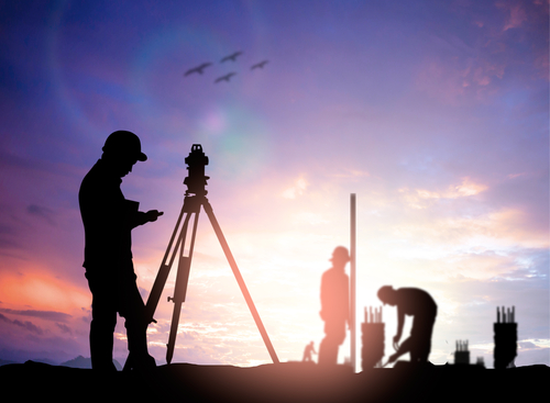
What is the History of Surveying in Texas?

What is the History of Surveying in Texas?
Surveying, the science and art of measuring the earth’s surface and its features, has a rich and fascinating history that dates back thousands of years. From the ancient Egyptians to the modern-day GPS technology, surveying techniques have been crucial in a wide range of applications, from land development to mapmaking and navigation. Let’s delve into the history of land surveyors to understand its evolution and significance throughout the years, up to its modern-day use in Texas!
Ancient Surveying Techniques:
The origins of surveying can be traced back to ancient civilizations, where the need to measure and divide land for agricultural purposes became necessary. One of the earliest recorded instances of surveying comes from ancient Egypt around 2700 BC. The Egyptians used “rope stretching” techniques to measure and divide land along the Nile River floodplains. This method involved positioning “rope stretchers” at both ends of the property and producing a straight line division, despite the river’s curves.
Greek and Roman Contributions:
Greek mathematicians and astronomers, such as Thales, have significantly influenced surveying techniques. Thales, who was known as the “father of surveying,” introduced the concept of triangulation, which involved measuring angles and distances to determine unknown locations. This mathematical principle would become the foundation for modern surveying practices.
During the Roman Empire, topographic surveying became vital for large-scale construction projects and the establishment of boundaries. The Romans developed various ingenious tools, including the groma, which was used for aligning buildings and roads, and the chorobate, a leveling instrument. Their advanced engineering feats, such as aqueducts and roads, required precise measurements and alignments, showcasing the significance of surveying in ancient times.
The Renaissance and the Age of Exploration:
The Renaissance period witnessed significant advancements in surveying techniques and instruments. The development of more accurate compasses and the invention of the plane table, which enabled horizontal calculations on a stationary table, revolutionized surveying methods. The use of the surveyors’ chain, consisting of a series of links, was also introduced during this time, allowing for accurate linear measurements.
The Age of Exploration brought about a surge in surveying activities as navigators sought to chart new territories. Land surveys were conducted to define boundaries and claim lands in newly discovered territories. One notable figure during this era was Gerardus Mercator, a cartographer who invented the Mercator projection, a cylindrical map projection that made navigation easier. Surveyors played a crucial role in capturing accurate geographical data, paving the way for the exploration and colonization of new lands.
Modern Surveying Techniques:
The 18th and 19th centuries marked a significant turning point in surveying with the introduction of more precise instruments. The theodolite, a surveying instrument used for measuring horizontal and vertical angles, became widely utilized and allowed for more accurate surveys. Additionally, the invention of the steel tape measure improved the accuracy of linear measurements.
The advent of satellite technology brought about a revolution in land and boundary surveying during the 20th century. The development of the Global Positioning System (GPS) revolutionized the way surveys are conducted. GPS receivers can determine precise coordinates by connecting to satellites orbiting the earth. This technology made surveys quicker, more accurate, and accessible to a wider range of professionals.
The Future of Surveying:
As technology continues to advance, the future of surveying in Texas looks promising. Laser scanning, also known as LiDAR, is becoming increasingly popular in surveying applications such as mapping, construction, and infrastructure monitoring. This technology allows for the rapid acquisition of detailed 3D data, providing valuable information for various industries.
Furthermore, the integration of surveying with other disciplines, such as Geographic Information Systems (GIS), is expanding the capabilities and applications of construction and pipeline surveying. GIS allows for the collection, analysis, and visualization of spatial data, providing valuable insights for urban planning, environmental management, and disaster response.
Summary
Surveying has a long and storied history, dating back to ancient civilizations and evolving alongside technological advancements. From the rope stretching techniques of ancient Egypt to the modern-day GPS systems, surveying has played a crucial role in shaping our understanding of the Earth’s surface. As technology continues to progress, the future of surveying holds exciting possibilities, ensuring its continued importance in various fields.
Need Land Surveyors in Texas?
At Smyth Surveyors, Inc., we offer professional, official, and dependable land surveying in Texas. Our staff are all trained and licensed with our owner holding an L.S.L.S license. We can offer surveying for gas and oil well locations, pipeline right-of-way acquisition and construction alignment, determination of original survey boundaries, title boundary surveys, topographic surveys, and construction staking. If you are looking for a surveying company that has a prestigious record and an impeccable reputation look no further than Smyth Surveyors, Inc. Contact us today to speak with one of our friendly project managers and set up some time with us!