
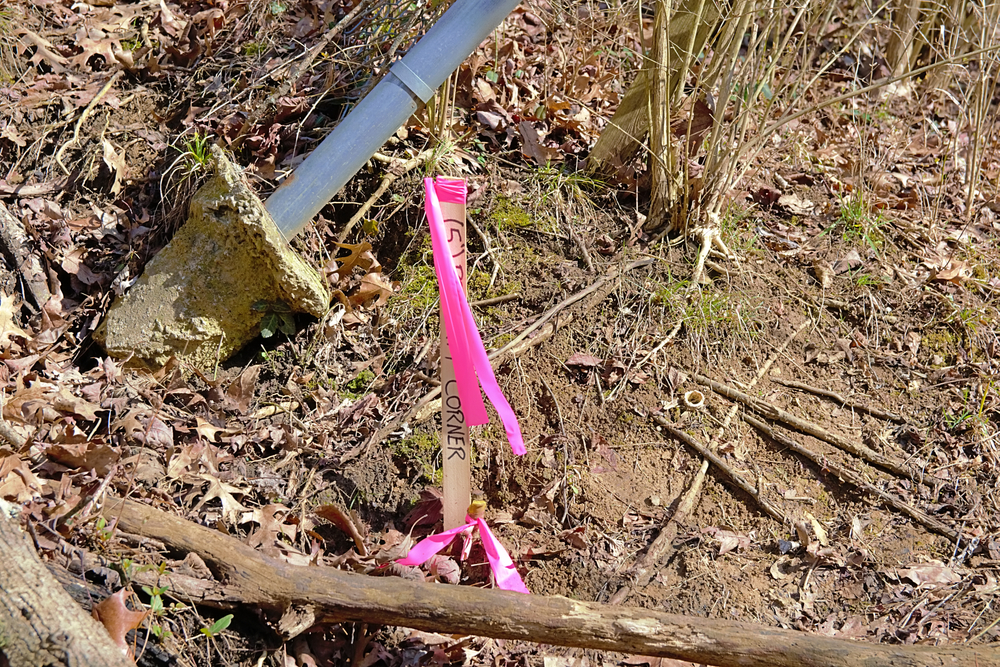
The oil and gas industry plays a vital role in powering economies around the world, with pipelines serving as the backbone of energy transportation. In Knippa, TX, where the oil and gas industry is a crucial part of the local economy, ensuring the safe and efficient operation of pipelines is paramount. Pipeline surveying has become
READ MOREBlog
Blog
Are There Differences Between Reduce Levels And Benchmark Surveys?

In the world of land surveying, terminology and precision matter a great deal. Surveying techniques are essential in fields such as construction and engineering, where accurate data can make the difference between success and failure. Among the many terms that come up in discussions of surveying, two concepts that often get confused are Reduced Levels
READ MOREWhat Are Some Changes In 2025 For Surveyors Should Know?

The role of surveyors has always been integral to various industries, from construction to real estate. However, with the onset of 2025, several changes are expected to impact the profession in significant ways. Surveyors are facing new challenges, advancements in technology, evolving regulations, and shifts in market dynamics. For residential property professionals, these changes will
READ MORENeed A Survey In West Texas: When You Should Consider a Chain Survey?
In the sprawling landscapes of West Texas, conducting land surveys is a crucial task for various purposes, from property disputes to infrastructure projects. Among the many types of surveys, the chain survey is one of the oldest and most straightforward methods. But when exactly should you consider a chain survey? This blog delves into the
READ MOREWhat Is A Survey Station?
Surveying is a fundamental practice in the fields of civil engineering, construction, and geography, serving as a critical process for accurate mapping and measurements. At the heart of this practice is a survey station. This article will explore what a survey station is, its purpose, types, setup process, and the importance it holds in modern
READ MORE