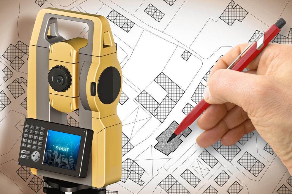
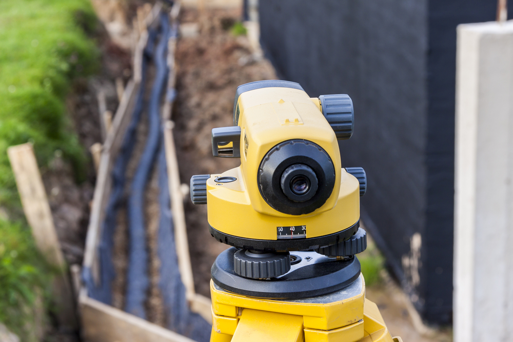
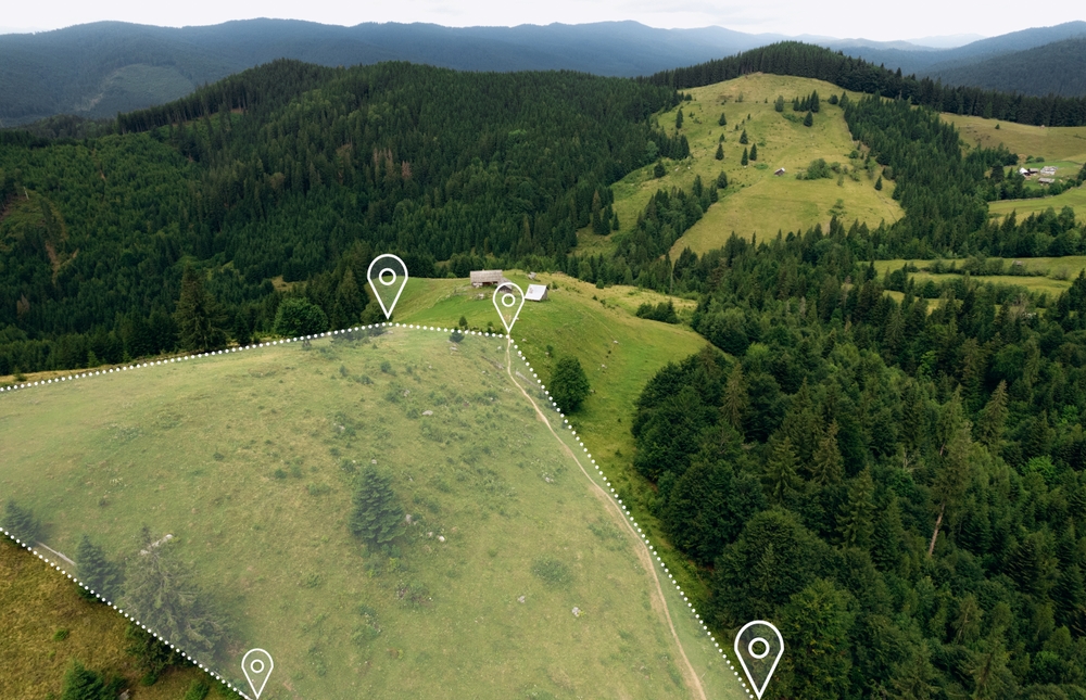
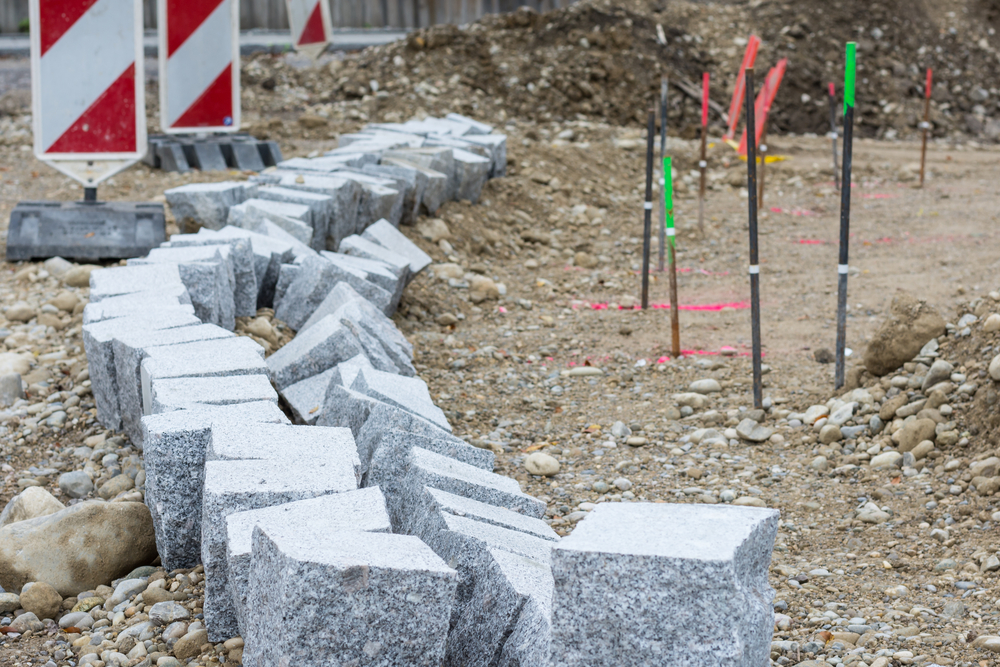
The land surveying industry has undergone significant changes in the past decade due to advances in technology. This transformation is especially evident in communities like Uvalde, TX, where land development, property sales, and agricultural uses depend heavily on accurate surveys. As the demand for real estate increases and infrastructure continues to expand, the need for
READ MOREBlog
Blog
What is a Flood Elevation Certificate and Why Do You Need One in La Pryor, TX?
A Flood Elevation Certificate is a crucial document for property owners in flood-prone areas. It provides detailed information about a building’s elevation relative to the estimated height floodwaters could reach during a major flood. Specifically, this certificate helps determine insurance rates under the National Flood Insurance Program (NFIP). It also ensures compliance with local floodplain
READ MOREUnderstanding Right-of-Way in Pipeline Surveying In La Pryor, TX
Right-of-way (ROW) is a vital concept in pipeline surveying, especially in regions like La Pryor, TX, where oil and gas infrastructure plays a crucial role in the local economy. This term refers to the legal right to pass through property owned by another party, and in the context of pipeline installation, it allows companies to
READ MORELand Surveying and Environmental Sustainability in Concan, TX
Land surveying plays a crucial role in shaping the development and sustainability of Concan, TX. Nestled along the Frio River in Uvalde County, Concan has long been a destination of natural beauty, attracting visitors and developers alike. With increased interest in both residential and commercial development, the importance of accurate and environmentally conscious surveying has
READ MOREWhat is a Boundary Survey and Why is it Important for Property Owners?
When it comes to owning or purchasing property, one of the most essential and often overlooked steps is conducting a boundary survey. Whether you’re buying land for development, selling a portion of your property, or planning construction, knowing the precise boundaries of your land can protect you from costly legal disputes and ensure you’re making
READ MORE


