Need A Survey In West Texas: When You Should Consider a Chain Survey?
In the sprawling landscapes of West Texas, conducting land surveys is a crucial task for various purposes, from property disputes to infrastructure projects. Among the many types of surveys, the chain survey is one of the oldest and most straightforward methods. But when exactly should you consider a chain survey? This blog delves into the details of chain surveys and the situations where they provide the most value.
Understanding Chain Surveys
A chain survey is a simple method of land measurement that relies primarily on linear measurements using chains or tapes. The process involves measuring distances between fixed points to create an accurate representation of the land’s dimensions.
Tools Used in Chain Surveys
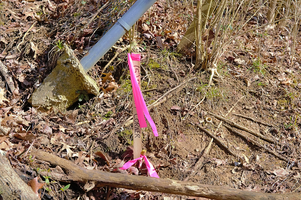
The tools required for a chain survey are minimal but essential. Common tools include:
- Chains or tapes: These can be metallic chains or fiberglass measuring tapes.
- Arrows or pegs: Used to mark key points on the ground.
- Ranging rods: Tall poles used for alignment.
- Plumb bob: For ensuring vertical alignment.
- Cross-staff: A tool for determining right angles.
The simplicity of these tools makes the chain survey a low-cost option, but its success depends heavily on the skill of the surveyor.
When is a Chain Survey Appropriate?
A chain survey may not be suitable for all projects due to its limitations. However, it excels in specific scenarios where high-tech equipment is unnecessary or impractical. Below are the key instances where you should consider using a chain survey in West Texas.
1. When Working on Small, Flat Areas
Chain surveys work best on relatively small and flat tracts of land. Since the method relies on direct linear measurements, rough or uneven terrain can lead to inaccuracies.
Ideal Use Cases:
- Residential property boundary demarcations.
- Plotting a backyard garden or driveway.
- Creating a small construction site plan.
In the relatively flat plains of West Texas, chain surveys can be highly effective for these small projects, especially when topographic variations are minimal.
2. Budget-Friendly Survey Requirements
If you’re working with a limited budget, chain surveys are often the most cost-effective option. Advanced equipment like GPS devices or total stations can be expensive to rent or purchase, but a chain survey requires only basic tools.
Why It’s Cost-Effective:
- Minimal equipment costs.
- Requires fewer personnel.
- Reduces the need for expensive data processing software.
Chain surveys are particularly useful for cost-conscious homeowners, small businesses, or land developers looking to minimize expenses.
3. When Precision is Not the Top Priority
Although chain surveys can provide reasonably accurate results, they are not the best option when millimeter-level precision is required. Situations that demand extremely high accuracy, such as engineering projects, may require more sophisticated tools.
Appropriate Projects:
- Marking out farm boundaries.
- Basic land assessments for landscaping.
- Recreational space layout, like parks and fields.
For agricultural and recreational purposes in West Texas, a chain survey may be accurate enough to meet your needs without the costs of precision-grade technology.
4. Projects Requiring Simple Measurements and Quick Turnaround
Some projects require simple linear measurements and don’t justify the use of advanced technology. Chain surveys can be completed relatively quickly, making them ideal for projects where time is a constraint.
Quick Survey Examples:
- Measuring land for temporary installations (e.g., event spaces).
- Basic property surveys before informal sales or agreements.
- Verifying older survey records with current land conditions.
In West Texas, where ranches and vast plots of land are common, quick verification of distances can save time and effort.
5. When Surveying in Remote Areas with Minimal Access to Power
Many remote areas in West Texas lack access to power sources or cellular networks needed for GPS-based equipment. In such cases, a chain survey can be an invaluable, low-tech solution that provides reliable results without requiring electronic devices.
Remote Area Applications:
- Surveying isolated farmland.
- Planning private roadways.
- Assessing remote plots for future development.
The simplicity of a chain survey ensures that even in areas with no connectivity, the work can be completed with basic tools and manual measurements.
Limitations to Keep in Mind
While chain surveys have their advantages, it’s essential to be aware of their limitations to determine whether they align with your project’s requirements.
1. Vulnerability to Human Error
Since measurements are taken manually, there is always a risk of human error. Misaligned ranging rods, incorrect measurements, or failure to compensate for sloped land can all lead to inaccurate results.
2. Not Suitable for Large or Complex Areas
For large properties or areas with many irregular features, a chain survey may become inefficient. The need to measure numerous short distances and account for various obstacles can slow down the process and reduce accuracy.
3. Impact of Weather Conditions
Strong winds can make it difficult to align ranging rods accurately, while wet or muddy ground can make it hard to place pegs or arrows firmly. Additionally, extreme heat—common in West Texas—can cause some measuring tapes to expand slightly, affecting accuracy.
Alternatives to Chain Surveys
If your project doesn’t fit the criteria for a chain survey, there are several alternatives to consider, each with its own strengths.
GPS and Total Station Surveys
- High precision: Ideal for large-scale and high-stakes projects.
- Efficient data collection: Digital storage of measurements for future use.
Drone Surveys
- Aerial mapping: Suitable for rugged terrain or large properties.
- Fast and efficient: Covers more ground in less time.
Theodolite Surveys
- Accurate angular measurements: Useful when elevations and slopes need to be considered.
- Detailed mapping: Excellent for projects involving structures and uneven land.
Conclusion: When a Chain Survey Makes Sense in West Texas
A chain survey remains a reliable and cost-effective option for many land measurement projects in West Texas. It’s particularly useful for small, flat plots where high precision isn’t critical and when budget constraints exist. However, for larger, more complex projects or areas with significant elevation changes, modern alternatives may be a better fit.
Before committing to any survey method, it’s essential to evaluate your specific needs, budget, and the nature of the land you’re working with. When in doubt, consulting a professional surveyor can help you determine whether a chain survey or a more advanced option is the best choice for your project.
Need Land Surveyors in Texas?
At Smyth Surveyors, Inc., we offer professional, official, and dependable land surveying in Texas. Our staff are all trained and licensed with our owner holding an L.S.L.S license. We can offer surveying for gas and oil well locations, pipeline right-of-way acquisition and construction alignment, determination of original survey boundaries, title boundary surveys, topographic surveys, and construction staking. If you are looking for a surveying company that has a prestigious record and an impeccable reputation look no further than Smyth Surveyors, Inc. Contact us today to speak with one of our friendly project managers and set up some time with us!