The Role of Surveyors in Land Development in La Pryor, TX
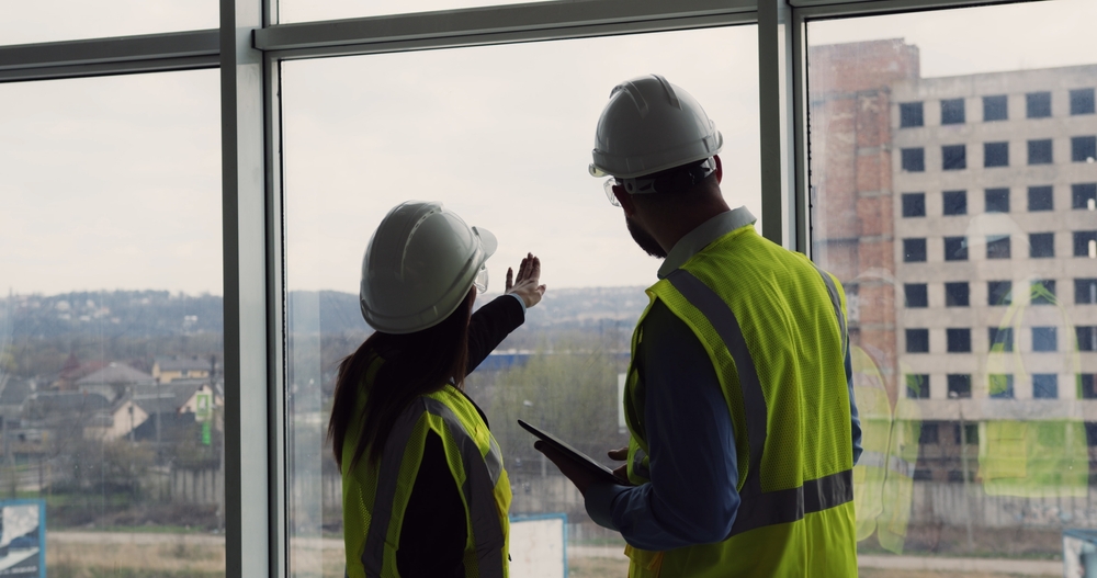
Land development begins long before construction equipment arrives on site. Whether you are planning a new home, commercial property, agricultural improvement, or subdivision, understanding your property’s boundaries and physical characteristics is the foundation of a successful project in La Pryor, TX.
Quick Answer
Surveyors play a critical role in land development by establishing property boundaries, identifying topographic features, supporting permitting and planning, and helping ensure construction begins in the correct location. In La Pryor and throughout Zavala County, professional surveying helps property owners avoid costly disputes, design issues, and project delays.
What Local Readers Should Know
-
Every land development project should begin with an accurate survey to confirm property boundaries before design or construction starts.
-
Properties throughout Zavala County often include large rural tracts where older legal descriptions may require careful interpretation.
-
Topographic surveys help engineers design drainage systems that account for South Texas rainfall and natural land elevations.
-
Boundary disputes are much easier and less expensive to prevent than to resolve after construction has started.
-
Professional surveying provides documentation that architects, engineers, contractors, lenders, and local agencies rely on throughout the development process.
Why This Matters Locally
Land development in La Pryor involves unique challenges that differ from larger metropolitan areas. Agricultural properties, ranch land, commercial developments, and residential lots may all have different survey requirements depending on the intended use.
South Texas terrain, seasonal rainfall, native vegetation, and historic property descriptions can all influence how a site is evaluated before construction begins. Development projects may also involve coordination with Zavala County, utility providers, engineers, and design professionals. Beginning with an accurate survey helps establish a reliable foundation for every decision that follows.
Smyth Surveyors, Inc. understands the importance of accurate surveying for local development projects. From the initial planning stages through final construction, we work to provide the reliable information property owners and development teams need to move forward with confidence.
Local Data or Field Observations
Professional field observations consistently show that many development delays begin with incomplete or outdated property information rather than construction problems themselves. Older rural parcels throughout South Texas may contain legal descriptions based on historical monuments, fence lines, or previous surveys that benefit from professional verification before improvements begin.
In communities like Crystal City, Batesville, Uvalde, Carrizo Springs, and La Pryor, confirming property information early often helps reduce unexpected revisions during engineering and permitting.
Local Impact
An accurate survey affects nearly every stage of land development.
Developers can confidently design improvements that fit within property boundaries. Engineers receive dependable information for grading and drainage plans. Contractors know exactly where buildings, utilities, roads, and other improvements belong.
For property owners in La Pryor, this means fewer surprises during construction, reduced risk of boundary conflicts with neighboring landowners, and a smoother path from planning to project completion.
Warning Signs You May Need a Survey
-
Property corners cannot be located.
-
Existing fences do not appear to match deed descriptions.
-
You are purchasing undeveloped land.
-
A new building, driveway, or utility installation is being planned.
-
The property has never been professionally surveyed or the existing survey is decades old.
-
Neighboring property owners disagree about boundary locations.
-
Engineering or permitting requires current survey information.
When to Call a Professional
Professional surveying should begin before major development decisions are made. While property owners can review deeds, tax maps, and public records, those documents alone do not establish precise boundary locations in the field.
If you are buying land, planning construction, dividing property, or preparing for commercial development in La Pryor, working with a licensed surveyor helps establish accurate information before significant investments are made.
Common Local Causes That Make Surveying Essential
Rural Property Boundaries
Many properties throughout Zavala County consist of larger parcels with historical legal descriptions that deserve careful evaluation before development.
New Construction
Homes, agricultural buildings, commercial facilities, and infrastructure projects all require accurate layout information before excavation begins.
Property Division
Subdividing land requires precise measurements and documentation that support legal recording and future ownership.
Drainage Planning
South Texas weather patterns can produce periods of heavy rainfall, making elevation information valuable during engineering and site design.
Utility Improvements
Installing water, electric, sewer, or communication infrastructure often depends on accurate survey control.
Prevention and Maintenance
Property owners can reduce future development challenges by taking several proactive steps.
-
Schedule a boundary survey before purchasing or improving property.
-
Preserve survey monuments whenever possible.
-
Keep copies of recorded surveys and legal descriptions.
-
Share current survey information with engineers and architects early in the planning process.
-
Verify property boundaries before installing fences or permanent improvements.
While reviewing public records is helpful, establishing legal property boundaries requires professional surveying methods and field measurements.
Expected Results
A professional land survey provides dependable information that supports informed decision making throughout development.
Property owners can expect clearly documented boundaries, accurate measurements, mapping of existing improvements when applicable, and information that engineers, architects, contractors, and permitting agencies can use during project planning.
The exact scope of work will depend on the property’s size, development goals, and survey type.
Common Mistakes
Starting construction before confirming boundaries
Consequence: Improvements may extend beyond property lines or require costly relocation.
Better approach: Complete a professional boundary survey before construction begins.
Relying on existing fences
Consequence: Fence locations may not represent the legal property boundary.
Better approach: Verify boundary locations through professional surveying.
Using outdated survey information
Consequence: Previous improvements or property changes may not be reflected accurately.
Better approach: Obtain an updated survey when planning new development.
Waiting until permitting begins
Consequence: Missing survey information can delay engineering and approvals.
Better approach: Include surveying during the earliest planning stages.
Common Local Scenario
A property owner purchases acreage near La Pryor with plans to build a residence, install utilities, and eventually construct additional agricultural improvements.
Before design work begins, a professional boundary and topographic survey identifies property corners, existing easements, elevation changes, and site conditions. Engineers can then prepare drainage and utility plans using accurate field information, helping the project move forward with fewer unexpected adjustments during construction.
Related Service Solutions
Several surveying services commonly support land development projects, including:
-
Boundary surveys
-
Topographic surveys
-
Construction staking
-
ALTA/NSPS land title surveys
-
Subdivision platting
-
Easement surveys
-
Improvement location surveys
Each service addresses different project needs, and selecting the appropriate survey depends on development goals, financing requirements, and regulatory considerations.
Comparing Your Options
| Option | Advantages | Considerations |
|---|---|---|
| Existing records only | Low initial cost | May not accurately establish boundaries |
| Basic boundary survey | Confirms legal property limits | Does not include detailed elevation data |
| Boundary plus topographic survey | Supports engineering and design | Larger initial investment with greater planning value |
| Comprehensive development survey package | Supports multiple project phases | Best suited for larger or more complex developments |
Service Areas
We proudly serve property owners and development professionals in La Pryor, Crystal City, Batesville, Carrizo Springs, Uvalde, Zavala County, and surrounding South Texas communities. Whether your project involves residential, commercial, agricultural, or rural property, we provide surveying services tailored to local development needs.
Cost of Ignoring the Issue
Delaying professional surveying can lead to project redesigns, construction delays, boundary disputes, permitting complications, and unnecessary expenses. Establishing accurate property information early is often one of the most cost-effective investments in a successful land development project.
Frequently Asked Questions
Why is a land survey important before development in La Pryor?
A land survey establishes accurate property boundaries and site information before planning begins. This helps reduce the risk of design conflicts, construction errors, and boundary disputes while supporting a smoother development process.
What types of surveys are commonly used for land development?
Boundary surveys, topographic surveys, construction staking, subdivision surveys, and ALTA/NSPS land title surveys are among the most common services depending on the project’s goals and requirements.
How does a topographic survey help with development?
A topographic survey maps elevations, natural features, and existing improvements. Engineers use this information to design grading, drainage, roads, and utility systems that fit the site’s conditions.
Do rural properties in Zavala County require surveying?
Yes. Rural properties often have older legal descriptions, larger acreage, and historical boundary references that benefit from professional verification before improvements are made.
Can a survey help prevent property disputes?
Yes. An accurate survey documents legal boundary locations and provides information that can reduce misunderstandings before construction or land improvements begin.
When should I schedule a survey for my project in La Pryor?
The best time is before purchasing property, designing improvements, or beginning construction. Early surveying provides valuable information for planning and budgeting.
Is a survey required for every construction project?
Requirements vary depending on the project, lender, permitting agency, and local regulations. Even when not required, many property owners choose surveying because it supports accurate planning and construction.
Can survey information be used by engineers and architects?
Yes. Engineers, architects, contractors, and other design professionals commonly rely on survey data to prepare accurate construction plans.
Closing
Successful land development begins with accurate information. Understanding your property’s boundaries, elevations, and existing conditions allows every stage of the project to move forward with greater confidence. Whether you are planning residential, commercial, or agricultural improvements in La Pryor, professional surveying provides the foundation for informed decisions.
Build Your Project on Accurate Survey Data
We are committed to helping property owners and development professionals start with reliable information they can trust.