How Would Tacheometric Surveying Used?

Tacheometric surveying is a method of surveying that involves determining measurements electronically and checking for more precise measurements. This technique is commonly used in various engineering and construction projects to quickly and accurately measure distances and elevations. In this blog post, we will explore how tacheometric surveying is used and its advantages in the field of surveying.
What is Tacheometric Surveying?
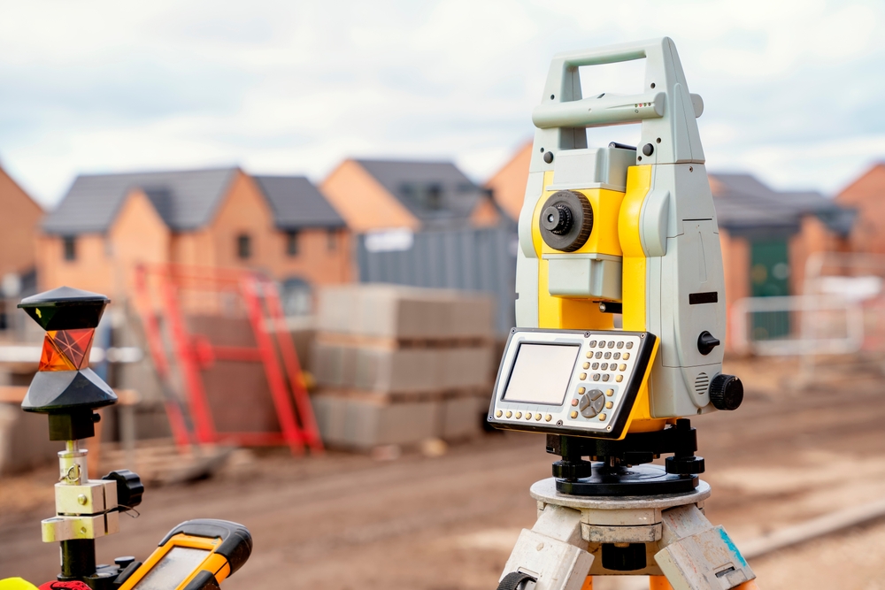
Tacheometric surveying is a type of surveying that involves using an electronic tacheometer to measure distances and elevations. The tacheometer is a surveying instrument that combines the functions of a theodolite and a stadia rod. It allows surveyors to quickly and accurately measure horizontal and vertical distances between various points on the land.
How is Tacheometric Surveying Used?
Tacheometric surveying is typically used in engineering and construction projects where precise measurements are required. The tacheometer is set up at a known point, and the surveyor then uses the instrument to measure the distance and elevation of other points on the land. By taking multiple readings and calculations, the surveyor can create a detailed map of the area being surveyed.
One of the key advantages of tacheometric surveying is its speed and accuracy. The electronic tacheometer allows surveyors to take measurements quickly and efficiently, saving time and reducing the risk of human error. This is especially important in large-scale surveying projects where hundreds or even thousands of measurements need to be taken.
Another advantage of tacheometric surveying is its ability to check for more precise measurements. The electronic nature of the tacheometer allows surveyors to make precise calculations and adjustments to ensure that the measurements are accurate. This is essential in projects where even small errors in measurement can have significant consequences.
Tacheometric surveying is commonly used in various engineering and construction projects, including road construction, building construction, and land development. In road construction, tacheometric surveying can be used to measure the alignment and grade of the road, as well as the distances between various features such as bridges and culverts.
In building construction, tacheometric surveying can be used to create detailed site plans and ensure that the building is constructed in the correct location and at the correct elevation. This is important for ensuring that the building is safe and structurally sound.
In land development projects, tacheometric surveying can be used to create accurate topographic maps of the land and determine the best locations for buildings, roads, and other infrastructure. This information is crucial for planning and designing new developments and ensuring that they are built in a way that is both functional and aesthetically pleasing.
Summary
Tacheometric surveying is a valuable tool that is commonly used in engineering and construction projects to quickly and accurately measure distances and elevations. By using an electronic tacheometer, surveyors can take precise measurements and create detailed maps of the land. If you are in need of surveying services for your project, consider hiring a professional surveyor who is experienced in tacheometric surveying techniques.
Need Land Surveyors in Texas?
At Smyth Surveyors, Inc., we offer professional, official, and dependable land surveying in Texas. Our staff are all trained and licensed with our owner holding an L.S.L.S license. We can offer surveying for gas and oil well locations, pipeline right-of-way acquisition and construction alignment, determination of original survey boundaries, title boundary surveys, topographic surveys, and construction staking. If you are looking for a surveying company that has a prestigious record and an impeccable reputation look no further than Smyth Surveyors, Inc. Contact us today to speak with one of our friendly project managers and set up some time with us!