Bearing surveys are an essential component of land surveying, construction, navigation, and various engineering applications. They involve the precise measurement of angles to determine directions and locations. Within this domain, understanding the differences between circle bearing and quadrantal bearing—two common types of bearing measurement—is crucial for professionals in the field. This blog explores their unique
READ MOREBlog
Blog
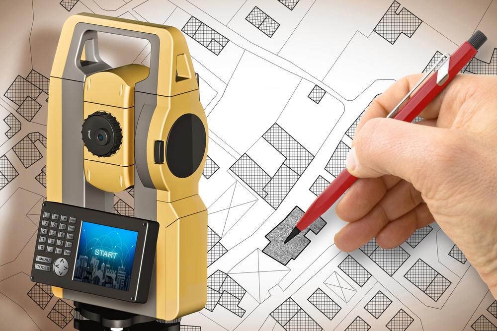
How Would I Use A Boundary Survey?
Understanding property boundaries is essential for homeowners, real estate developers, and potential buyers. A boundary survey is a critical tool used to determine the precise legal boundaries and corners of a property. Whether you’re looking to build a fence, sell land, or settle a property dispute, knowing your property’s boundary lines ensures clarity and prevents
READ MOREWhere Would I Go To Start A Surveyor Career?

A career in land surveying offers a unique blend of technology, engineering, and the outdoors, making it a highly rewarding profession for those with a passion for both precision and exploration. But where does one start if they aspire to become a professional land surveyor? This blog will guide you through the educational and training
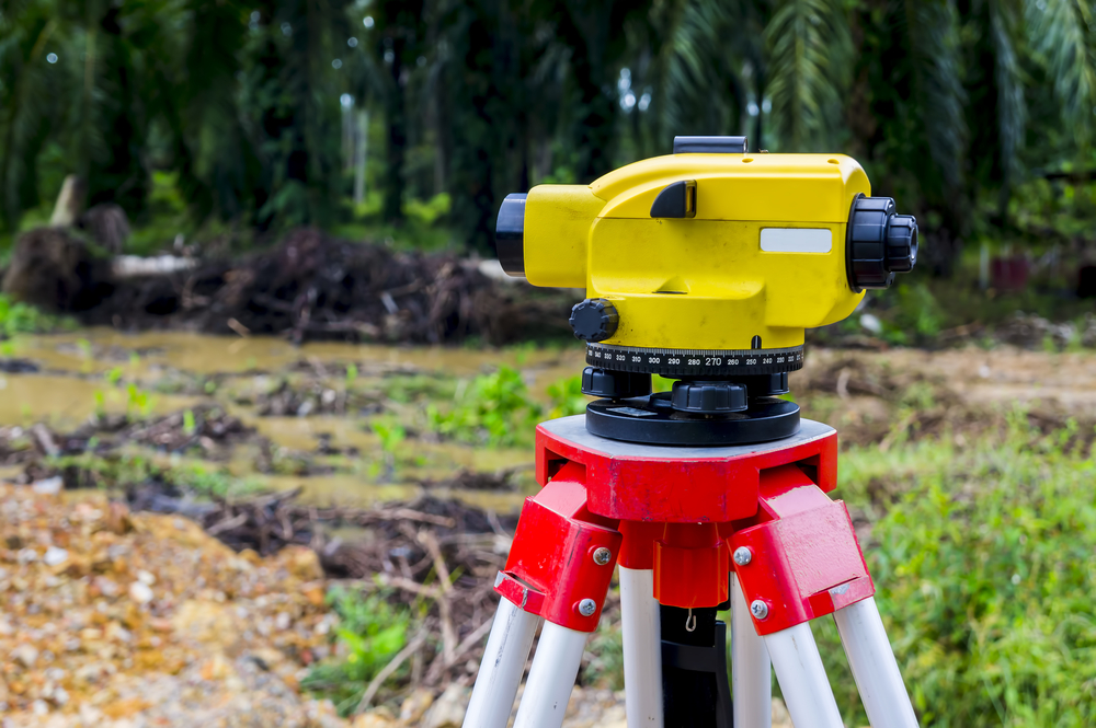
READ MOREHow Is Auto Level Surveying Used and The Advantage Of Using It?

Auto level surveying is a fundamental process in construction, engineering, and land surveying that ensures accurate level measurements over various terrains. Auto level devices, which streamline the process, have become invaluable in these industries due to their efficiency, reliability, and precision. This article explores how auto level surveying is conducted and the many advantages of
READ MOREDo I Need A Property Survey Done On A Residential Home Purchase In Uvalde County?

Purchasing a residential home in Uvalde County is an exciting milestone, especially for a first-time property owner. But along with this excitement comes the responsibility of ensuring that you have a full understanding of the property and its boundaries. One crucial step that should not be overlooked is obtaining a property survey before finalizing your
READ MORE