The Future of Technology in Land Surveying: How It Affects Uvalde Properties
The land surveying industry has undergone significant changes in the past decade due to advances in technology. This transformation is especially evident in communities like Uvalde, TX, where land development, property sales, and agricultural uses depend heavily on accurate surveys. As the demand for real estate increases and infrastructure continues to expand, the need for reliable surveying methods grows stronger. Today, land surveyors in Uvalde, TX, are equipped with cutting-edge tools that make the process faster, more accurate, and more accessible than ever before.
The Evolution of Land Surveying Technologies
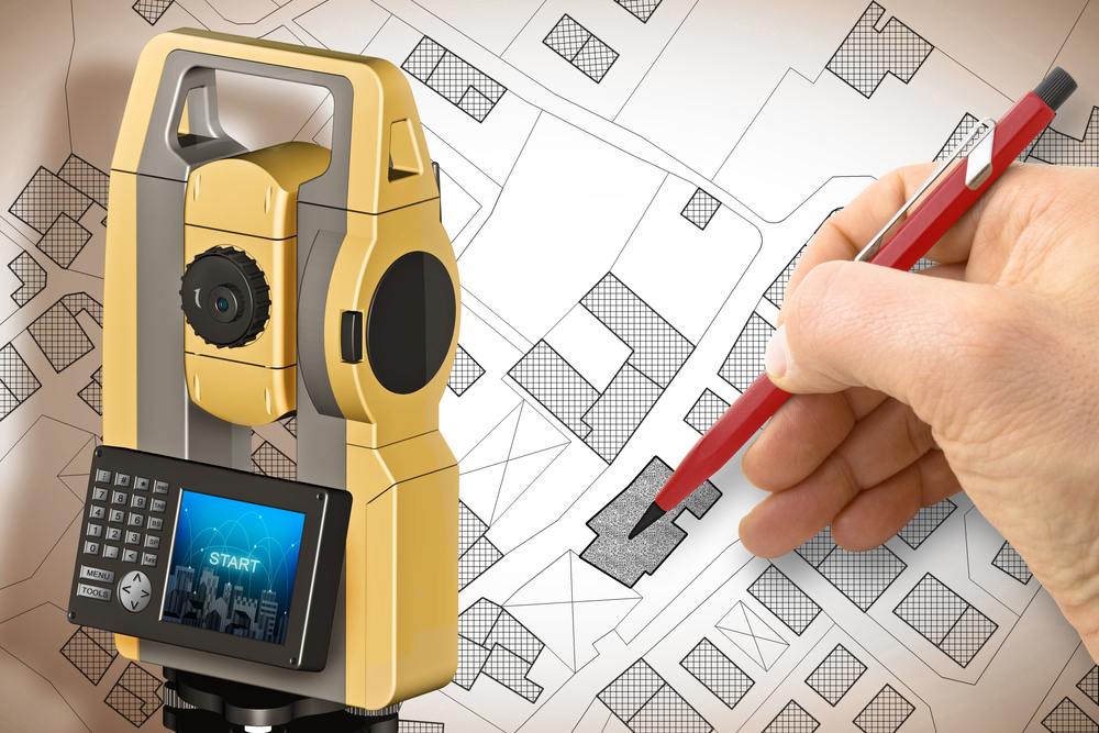
Traditional land surveying methods relied heavily on manual tools such as chains, compasses, and theodolites. While these tools were effective, they demanded a great deal of time, physical effort, and interpretation. Over the years, surveying has evolved into a data-driven profession that now incorporates tools such as GPS, drones, 3D scanning, and Geographic Information Systems (GIS).
Global Positioning System (GPS) technology, for instance, has revolutionized how land surveyors in Uvalde, TX, pinpoint exact coordinates. GPS allows surveyors to gather accurate location data in real time, reducing the margin of error and expediting the overall process. Meanwhile, GIS software helps store and analyze geographic data, giving surveyors the ability to model terrain, track property boundaries, and create interactive maps.
Another technological innovation making waves in Uvalde is drone-assisted surveying. Drones can cover large parcels of land in a fraction of the time it would take a traditional team on foot. They also capture high-resolution aerial imagery and provide topographic data that can be processed into detailed site models. This has become especially valuable in rural areas of Uvalde County where large tracts of land are common.
Impact on Property Development in Uvalde, TX
Technology-driven land surveying has had a measurable impact on the property market in Uvalde. Whether for residential, commercial, or agricultural purposes, landowners and developers benefit from more precise and efficient surveys. This is crucial for securing a mortgage survey, which is often required by lenders to verify property boundaries before issuing a loan. With the help of modern tools, surveyors can now deliver these surveys with quicker turnaround times and increased accuracy.
In a growing city like Uvalde, accurate property data is vital for planning utilities, zoning compliance, and environmental conservation. Advanced survey methods ensure that every inch of land is accounted for, allowing planners to make informed decisions about how to utilize space. For instance, digital terrain models generated through LiDAR and drone mapping can help determine flood zones, elevation changes, and soil conditions. These insights are invaluable when determining the feasibility of new construction projects.
Additionally, as real estate investment in Uvalde grows, buyers and sellers alike benefit from clear and reliable boundary information. Surveying technology helps prevent costly disputes by defining legal property lines with undeniable accuracy. This protects everyone involved in a transaction and ensures compliance with local laws and ordinances.
The Role of the Modern Land Surveyor in Uvalde, TX
As the tools of the trade change, so too does the role of the land surveyor. Today’s professionals must be both field experts and tech-savvy data analysts. In Uvalde, this means mastering drone piloting, GIS mapping, GPS operation, and advanced CAD (Computer-Aided Design) software. While the core responsibility remains the same – measuring and mapping land – the methods and expectations have dramatically evolved.
Modern surveyors in Uvalde must also stay up to date with changing regulations and technological advancements. They are often called upon to consult on zoning matters, assist with permit applications, and contribute to environmental assessments. Their findings influence real estate values, construction permits, and long-term development strategies. This multifaceted role adds immense value to the community and demands a new level of education and training.
Moreover, many land surveyors in Uvalde are partnering with engineering and architecture firms, integrating survey data into broader planning and design efforts. By aligning the technical precision of surveying with creative design, these partnerships contribute to smarter, safer, and more sustainable development.
Technological Advantages for Mortgage Surveys in Uvalde
Mortgage surveys are an essential part of the real estate process, especially when dealing with banks and title companies. In Uvalde, the speed and accuracy of this type of survey have improved thanks to advancements in technology. Traditional mortgage surveys could take several days, sometimes longer, depending on the terrain and scope. Today, using satellite data, aerial imagery, and mobile GPS tools, surveyors can complete these jobs in significantly less time.
This efficiency benefits not just the surveyors but also buyers, sellers, and financial institutions. Faster turnaround times can accelerate the closing process for real estate deals, making the Uvalde housing market more dynamic and accessible. The accuracy of modern tools also reduces the likelihood of issues during underwriting, providing clarity and confidence for all parties.
Another key benefit of technology is its ability to deliver visual evidence. Many modern survey reports now include 3D visualizations or drone imagery, which can be easily understood by clients who may not be familiar with technical drawings. These visuals offer peace of mind and help laypeople grasp the full scope of a property’s layout and limitations.
The Future Outlook for Surveying in Uvalde, TX
Looking ahead, the future of land surveying in Uvalde is poised to become even more integrated and intelligent. Emerging technologies such as artificial intelligence and machine learning are beginning to assist with data processing, allowing surveyors to analyze larger data sets with greater speed. These systems can detect patterns, flag anomalies, and automate repetitive tasks, allowing surveyors to focus more on planning and interpretation.
Additionally, the adoption of cloud computing is enabling real-time collaboration between surveyors, engineers, real estate agents, and local government officials. With cloud-based tools, stakeholders can access survey data from any device, anywhere. This level of accessibility fosters better communication and speeds up decision-making processes, particularly for large-scale development projects.
There is also growing interest in using augmented reality (AR) to overlay survey data onto real-world environments. Imagine walking a plot of land in Uvalde while viewing boundary lines, utility paths, and zoning information through AR glasses. While still in early stages, such tools could redefine how people interact with land data and make development planning more intuitive than ever.
As environmental regulations become stricter and sustainability rises in priority, technology will also play a role in ensuring compliance. Surveyors may be asked to monitor environmental impact, support conservation efforts, or assess land for renewable energy projects. With smart sensors and data analytics, these tasks can be conducted more thoroughly and responsibly.
Conclusion
Technology is reshaping land surveying in transformative ways, and communities like Uvalde, TX, stand to gain significantly from these changes. From the use of drones and GPS to the adoption of cloud platforms and artificial intelligence, the tools available to land surveyors have never been more powerful. These advances are not just technical upgrades; they translate directly into better outcomes for property owners, developers, and mortgage lenders alike.
The ability to deliver fast, accurate, and visually rich survey results empowers real estate transactions, supports responsible development, and reduces legal risk. In a dynamic and growing region like Uvalde, keeping pace with these innovations ensures that local properties are managed with precision and foresight. As the landscape of surveying continues to evolve, the partnership between technology and tradition will define the future of land use in Uvalde for decades to come.
Need Land Surveyors in Texas?
At Smyth Surveyors, Inc., we offer professional, official, and dependable land surveying in Texas. Our staff are all trained and licensed with our owner holding an L.S.L.S license. We can offer surveying for gas and oil well locations, pipeline right-of-way acquisition and construction alignment, determination of original survey boundaries, title boundary surveys, topographic surveys, and construction staking. If you are looking for a surveying company that has a prestigious record and an impeccable reputation look no further than Smyth Surveyors, Inc. Contact us today to speak with one of our friendly project managers and set up some time with us!